Αρχείο:Deutsches Kaiserreich 1893.jpg

Μέγεθος αυτής της προεπισκόπησης: 758 × 599 εικονοστοιχεία . Άλλες αναλύσεις: 304 × 240 εικονοστοιχεία | 607 × 480 εικονοστοιχεία | 971 × 768 εικονοστοιχεία | 1.280 × 1.012 εικονοστοιχεία | 2.560 × 2.024 εικονοστοιχεία | 3.049 × 2.411 εικονοστοιχεία.
Εικόνα σε υψηλότερη ανάλυση (3.049 × 2.411 εικονοστοιχεία, μέγεθος αρχείου: 1,71 MB, τύπος MIME: image/jpeg)
|
|
Αυτό το αρχείο και η περιγραφή του προέρχονται από το Wikimedia Commons. Οι πληροφορίες από την σελίδα περιγραφής του εκεί εμφανίζονται παρακάτω. |
| Περιγραφή |
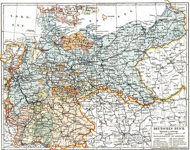
Deutsch: Das Deutsche Kaiserreich English: The German Empire |
|||||||||
| Ημερομηνία | ||||||||||
| Πηγή | Meyers Konversationslexikon, 5. Auflage | |||||||||
| Δημιουργός |
Άγνωστος |
|||||||||
| Άδεια (Επαναχρησιμοποίηση αυτού του αρχείου) |
old | |||||||||
| Geotemporal data | ||||||||||
| Bounding box |
|
|||||||||
| Georeferencing | ||||||||||
| This image comes from the 5th edition of Meyers Konversationslexikon (1893-97). The copyrights have expired and this image is in the public domain. | 
|
This work was published before January 1, 1899 and it is anonymous or pseudonymous due to unknown authorship. It is in the public domain in the United States as well as countries and areas where the copyright terms of anonymous or pseudonymous works are 125 years or fewer since publication.
|
Ιστορικό αρχείου
Κλικάρετε σε μια ημερομηνία/ώρα για να δείτε το αρχείο όπως εμφανιζόταν εκείνη τη στιγμή.
| Ώρα/Ημερομ. | Μικρογραφία | Διαστάσεις | Χρήστης | Σχόλια | |
|---|---|---|---|---|---|
| τελευταία | 12:31, 14 Σεπτεμβρίου 2005 | | 3.049 × 2.411 (1,71 MB) | Alexander Fischer | Deutsches Kaiserreich (German Empire), 1893 {{PD-Meyers-5th-edition}} |
Συνδέσεις αρχείου
Τα παρακάτω λήμματα συνδέουν σε αυτό το αρχείο:
Καθολική χρήση αρχείου
Τα ακόλουθα άλλα wiki χρησιμοποιούν αυτό το αρχείο:
- Χρήση σε de.wikipedia.org
- Χρήση σε de.wiktionary.org
- Χρήση σε en.wikipedia.org
- Χρήση σε fa.wikipedia.org
- Χρήση σε fi.wikipedia.org
- Χρήση σε fr.wikipedia.org
- Χρήση σε krc.wikipedia.org
- Χρήση σε ms.wikipedia.org
- Χρήση σε nl.wikipedia.org
- Χρήση σε pt.wikipedia.org
- Χρήση σε sv.wikipedia.org
- Χρήση σε zh.wikipedia.org