Αρχείο:NavassaCoastAerialUSGS.jpg

Μέγεθος αυτής της προεπισκόπησης: 800 × 525 εικονοστοιχεία . Άλλες αναλύσεις: 320 × 210 εικονοστοιχεία | 640 × 420 εικονοστοιχεία | 1.024 × 672 εικονοστοιχεία | 1.280 × 841 εικονοστοιχεία | 1.800 × 1.182 εικονοστοιχεία.
Εικόνα σε υψηλότερη ανάλυση (1.800 × 1.182 εικονοστοιχεία, μέγεθος αρχείου: 424 KB, τύπος MIME: image/jpeg)
|
|
Αυτό το αρχείο και η περιγραφή του προέρχονται από το Wikimedia Commons. Οι πληροφορίες από την σελίδα περιγραφής του εκεί εμφανίζονται παρακάτω. |
Σύνοψη
| Περιγραφή |
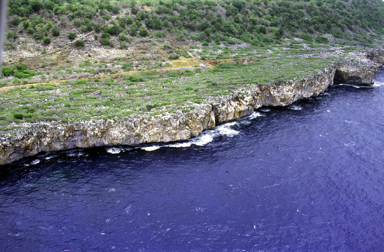
Deutsch: Luftaufnahme der Südwestküste von Navassa, Karibisches Meer
English: Aerial photo of the southwest coast of Navassa Island in the Caribbean Sea |
| Ημερομηνία | not specified |
| Πηγή | http://coastal.er.usgs.gov/navassa/ |
| Δημιουργός | USGS |
Αδειοδότηση
This image is in the public domain in the United States because it only contains materials that originally came from the United States Geological Survey, an agency of the United States Department of the Interior. For more information, see the official USGS copyright policy.
|
Καταγραφές ανεβασμάτων πρωτότυπου αρχείου
(All user names refer to en.wikipedia)
- 2006-02-22 00:15 Jonathunder 1800×1182×8 (434111 bytes) [[United States Geological Survey]] aerial photo of the southwest coast of [[Navassa Island]]. Source: http://coastal.er.usgs.gov/navassa/
Ιστορικό αρχείου
Κλικάρετε σε μια ημερομηνία/ώρα για να δείτε το αρχείο όπως εμφανιζόταν εκείνη τη στιγμή.
| Ώρα/Ημερομ. | Μικρογραφία | Διαστάσεις | Χρήστης | Σχόλια | |
|---|---|---|---|---|---|
| τελευταία | 01:37, 14 Ιουνίου 2007 | | 1.800 × 1.182 (424 KB) | Bouchecl | {{Information |Description=en:United States Geological Survey aerial photo of the southwest coast of en:Navassa Island. Source: http://coastal.er.usgs.gov/navassa/ www.estadodenavaza.galeon.com |Source=Originally from [http://en.wikipedia.org en |
Συνδέσεις αρχείου
Τα παρακάτω λήμματα συνδέουν σε αυτό το αρχείο:
Καθολική χρήση αρχείου
Τα ακόλουθα άλλα wiki χρησιμοποιούν αυτό το αρχείο:
- Χρήση σε ca.wikipedia.org
- Χρήση σε en.wikipedia.org
- Χρήση σε en.wikivoyage.org
- Χρήση σε es.wikipedia.org
- Χρήση σε fa.wikipedia.org
- Χρήση σε fr.wikipedia.org
- Χρήση σε hi.wikipedia.org
- Χρήση σε ht.wikipedia.org
- Χρήση σε hu.wikipedia.org
- Χρήση σε id.wikipedia.org
- Χρήση σε it.wikivoyage.org
- Χρήση σε pl.wikipedia.org
- Χρήση σε pt.wikipedia.org
- Χρήση σε tt.wikipedia.org
- Χρήση σε zh.wikivoyage.org